Robin Bodley conducted an investigation into the relationship between observer elevation and zenith angle to the sea horizon. 90° was subtracted from each angle to get the dip angle. Data is plotted on a graph to visualize it. The red curve represents the expected dip angle on a spherical earth with no atmosphere while the green curve has a correction of 0.13 for atmospheric refraction.
Each angle is the average of four sets of observations in both face left and face right.
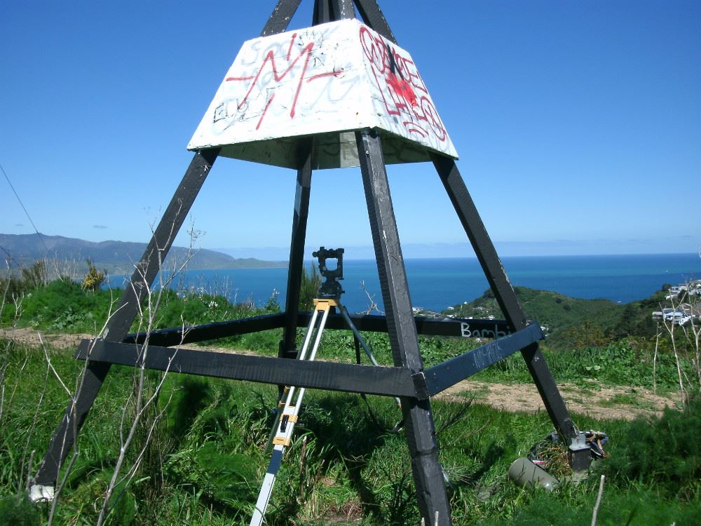
The theodolite used is a Wild Heerbrugg Switzerland T2-55209, made in 1956.
The details of the survey marks can be found here: http://apps.linz.govt.nz/gdb/

- CV3R 29.0m 0.16575°
- B9CG 41.2m 0.1895°
- A2MD 101.4m 0.2844°
- 8102 121.5m 0.33024°
- A27E 153.2m 0.36413°
- 8118 179.6m 0.4005°
- A2LL 181.9m 0.40413°
- 8106 196.4m 0.4167°
- BDJ9 226.6m 0.44167°
- B0P5 242.6m 0.45542°
- A2FP 275.9m 0.4863°
- A2LP 300.3m 0.504°
- A3Y3 353.7m 0.55514°
- 1212 446.6m 0.61281°
- A2M8 496.7m 0.6558°