See also: Walter Bislin’s page on RZAs and Jesse Kozlowski’s page
The Maine Surveyor measured the earth’s radius using reciprocal zenith angles. See his videos for details:
- Are Plumb Lines Parallel? – Geodesy
- Plumb Lines – Still Not Parallel
- Plumb Lines – Follow-Up 1
- Plumb Lines – Follow-Up 2
- Plumb Lines – Follow-Up 3
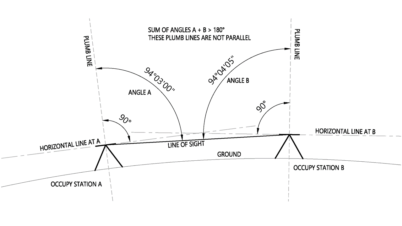
This method involves measuring the zenith angles between two points. If the earth is flat the sum of the zenith angles will be 180°. If the earth is convex the sum of the zenith angles will be more than 180°. The amount over 180° and the distance between the two points can be used to calculate the radius of the earth.
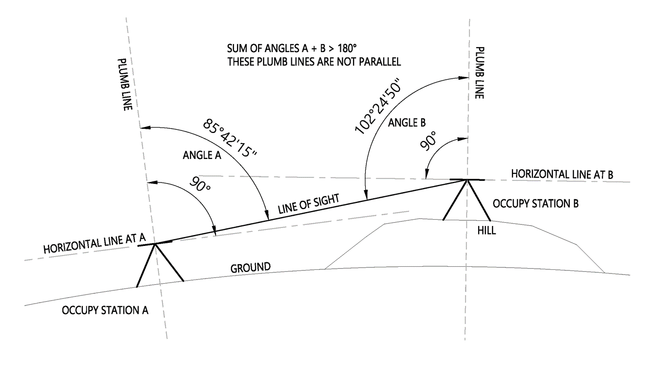
The difference in elevation does not affect the measurement as seen in this diagram. The sum of the angles will still be over 180° regardless of the elevation.
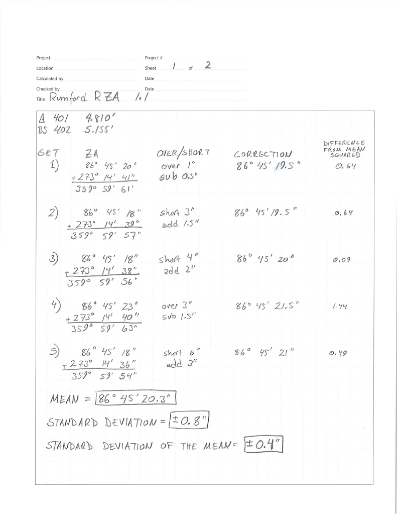
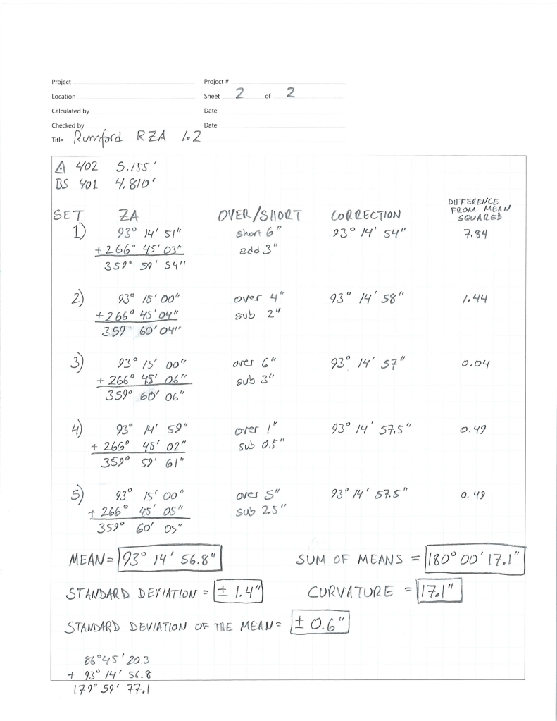
Survey results
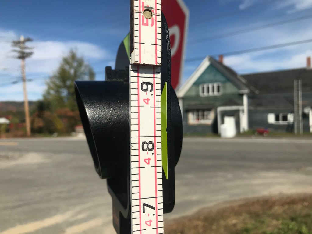
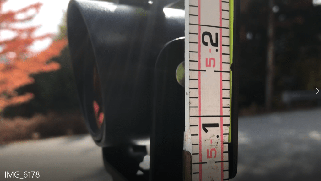
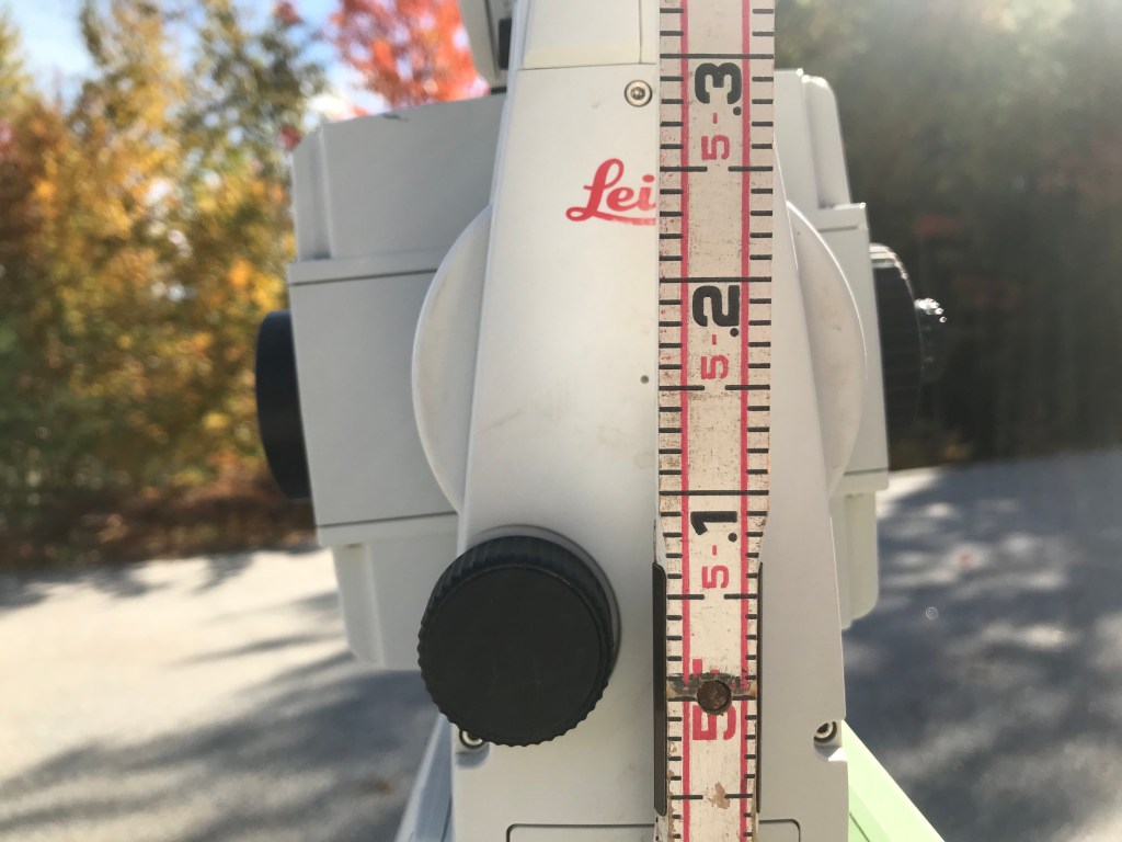
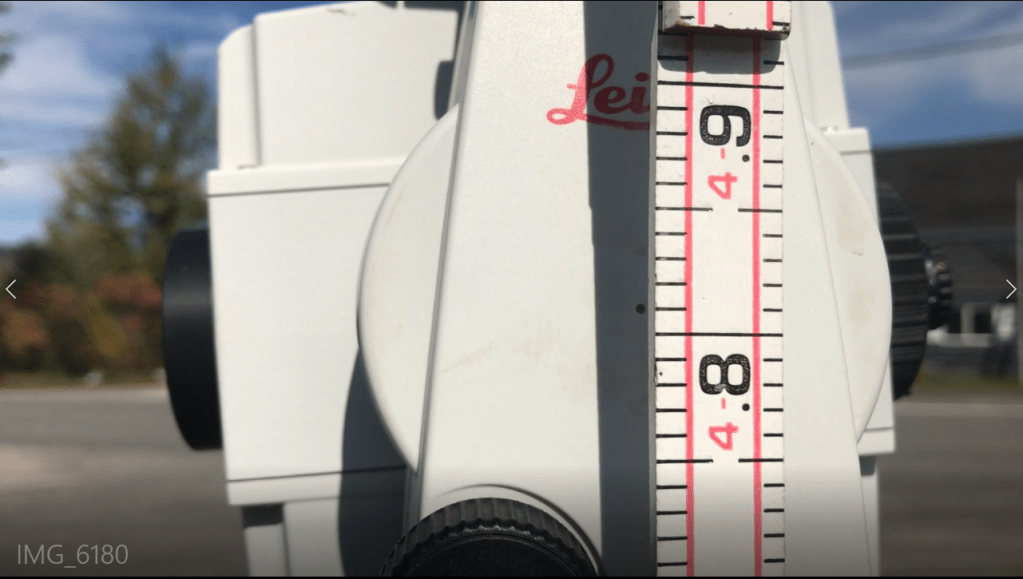
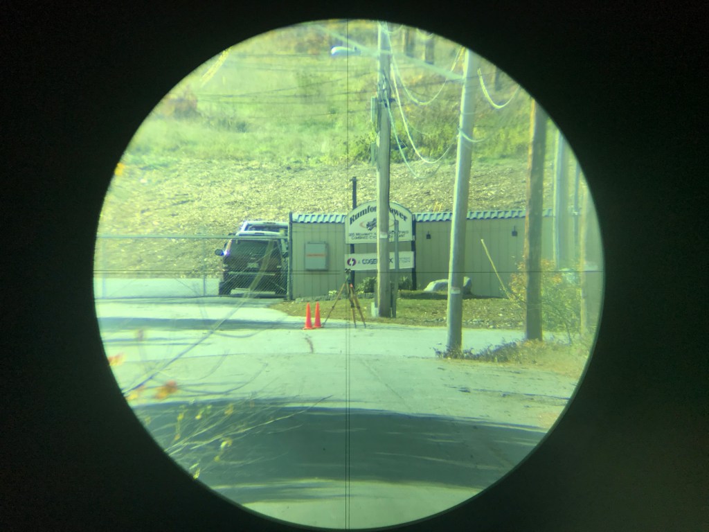
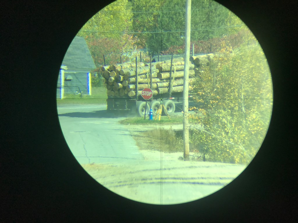
See Video Plumb Lines – Still Not Parallel for the procedure. Below are data and images from the video.
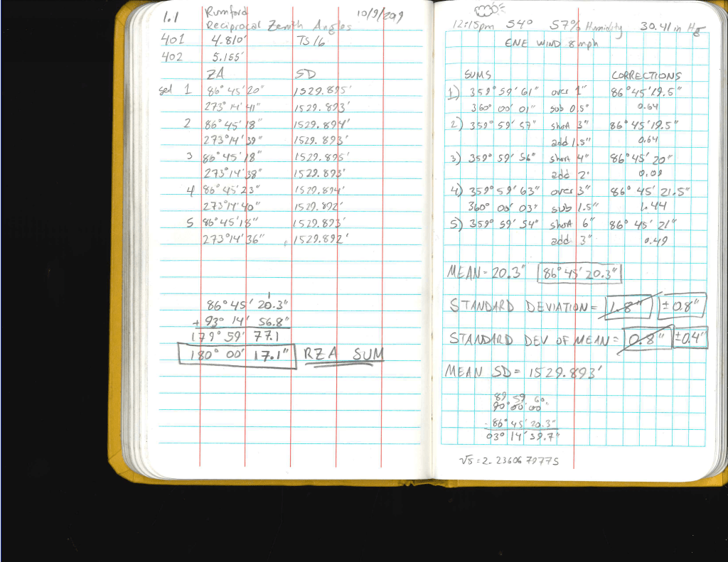
Measurement #1
Date of Survey: 9 October, 2019
Coordinates (WGS 84):
401: 44-32-02.1338 N; 70-30-57.8225 W
402: 44-31-54.3033 N; 70-31-15.8431 W
Mean Slope Distance (point to point): 1529.878′ or 466.3068144 meters
Mean Slope Distance (Instrument to target): 1529.893′ or 466.3113864 meters
WGS84 Radius By Latitude: 20,891,285.7006 feet or 6,367,663.88154288 meters or 6,368 km.
Predicted Zenith Angle Divergence: 15.0″
Measured Zenith Angle Divergence: 17.1″
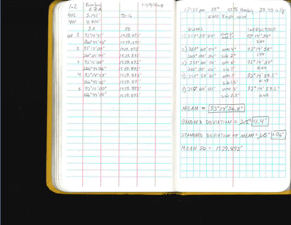
Measurement #2
Date of Survey: 10 October, 2019
Coordinates (WGS 84):
401: 44-32-02.1338 N; 70-30-57.8225 W; Ellipsoid Height: 128.6999m
402: 44-31-54.3033 N; 70-31-15.8431 W; Ellipsoid Height: 154.9975m
Mean Slope Distance (point to point): 1529.878′ or 466.3068144 meters
Mean Slope Distance (Instrument to target): 1529.849’or 466.2979752 meters
Radius By Latitude: 20,891,285.7006′
Predicted Zenith Angle Divergence: 15.0″
Measured Zenith Angle Divergence: 20.3″