Turns out the salt flats aren’t flat. They’re level:
The true level is a curve conforming to the surface of the earth.
-A Treatise on Practical Surveying
The Bolivia salt flats have been meticulously measured:
The DEM shows a complex surface with an elevation
6 range of only 77 cm over 50 kilometers – from a low of 3696.87 m in the broad
7 depression along the southern boundary to a high of 3697.64 m at the northeast corner.
See the article in Nature: https://www.nature.com/news/2007/071130/full/news.2007.315.html
Read the results here: Topography of the salar de Uyuni Bolivia from kinematic GPS
The Salt Flats in Utah are a great place to test if “level” means “curved” matching the definition, or if it means “flat” as some people have tried to assert. The salt flats are formed by water depositing salt when it evaporates. This means the surface is “level”. The roads built across 47 miles of the Salt FLats have a 53 feet of elevation change. This is a slope of 0.02%. It’s not a hill.
Enjoy this video showing the level road across the level Salt Flats. This shows the surface of the Salt Flats are curved.
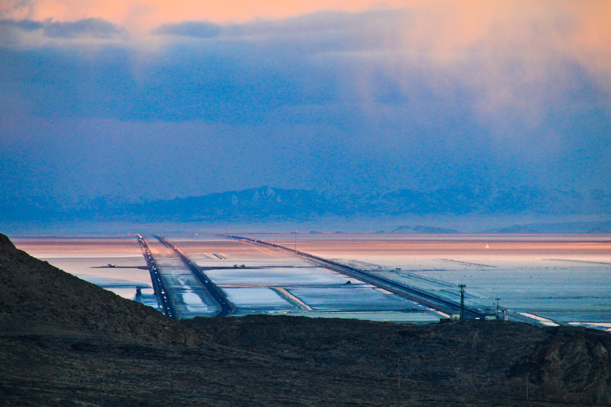
Here’s a lovely photograph from the salt flats in Utah:
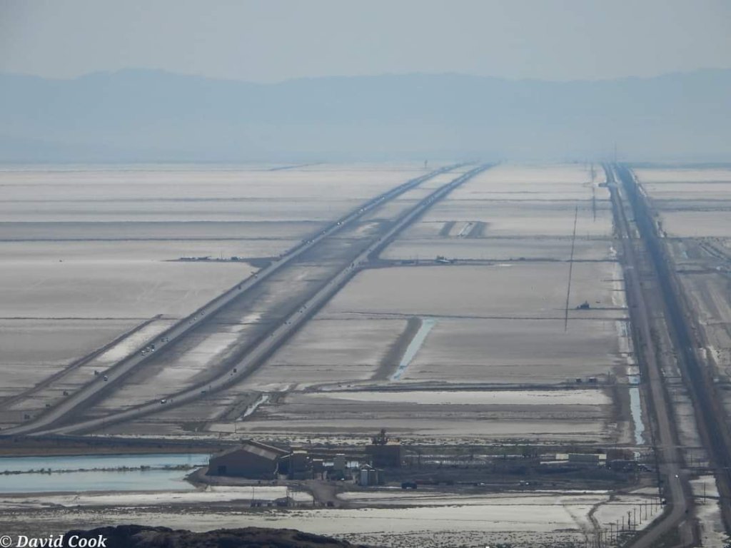
Another photograph by David Cook: